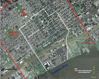
You'll find a copy in the Aerial Maps folder as a .jpg and .psd. The resolution will take zooming
A study of the Tacony/ Disston community, Philadelphia, PA. The Fall 2008 Studio project for the Historic Preservation Department at the University of Pennsylvania.
No comments:
Post a Comment